Guide: How to get started
Pour le moment, ce document n'est disponible qu'en anglais et en espagnol. Si vous souhaitez aider à le traduire en français, nous serions ravis de votre contribution!
What’s special about the place where you live? The land that you love? We’re guessing you’re here because there’s some place that’s important to you that you want to help protect - it might be the river you live along, or the forest where your family has lived for generations. And, unfortunately, our lands are increasingly coming under threat.
We built this toolkit to help support people doing the important work of defending the earth - especially those interested in using mapping, monitoring or storytelling tools to help protect land from environmental destruction.
Here are some questions and exercises that we’ve found useful during the early stages of building a project.
Start where you are
1. What makes your land/rivers/mountains/forest worth protecting?
2. What are the greatest threats to your land, and your community?
3. Can you have a conversation with others in your community to talk through these questions and jot down some ideas?
Exercise: Plan de Vida
One simple exercise to help you get started is inspired by the “life plan” (plan de vida) approach pioneered by Indigenous communities in Colombia. It focuses on getting the perspectives of all generations - including elders, decision-makers and youth. It can be done with large or small groups, but make sure to have diverse voices present.
Take three big sheets of paper and draw an outline of your territory on each one.
1. For the first map, ask: What did the territory used to look like? Discuss and draw as a group.
2. For the second, ask: What does the territory look like today? Discuss and draw as a group.
3. For the third, ask: What do we want the territory to look like tomorrow? Discuss and draw as a group.
Doing this exercise can help you and your community think through where you want to focus your energies.
Participation is key
A word you might hear a lot is participatory - this refers to projects that are built in a way that involves a whole community. While a traditional mapping may only involve a few individuals, in participatory mapping everyone (including the young and old) is involved in the process of making a map. This emphasis on participation helps improve the quality of the map and ensures that it represents many perspectives. A landscape should never be spoken for by a single person.
Questions to ask when getting started
| What | What goal are you trying to achieve? (What would success look like?) What kind of data do you need to collect? What kind of external support might be needed? (Such as technical, financial, scientific, legal, tool acquisition, training, etc.) What kind of tasks/activities will help you accomplish your goal? (Such as meetings, training, field work, data collection, etc.) |
| Who | Who will be affected by this project? Who will participate? Who will lead this project and keep it on track? What is your role? Who might be able to support the work? (Are you part of an organization or federation that could contribute time or resources?) How do you want to make decisions as a group? |
| Where | Where will this project happen? What are some factors specific to this place that will affect the project? Such as political context, activity of nearby communities, etc. |
| When | When do you hope to complete this project? (Even if you expect that the larger work will be ongoing, it’s helpful to set target dates to accomplish specific goals and to make sure the project is moving forward) |
| Why | Why does this matter? What is at stake? |
Technology
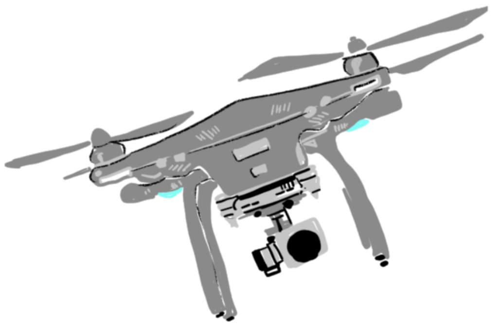
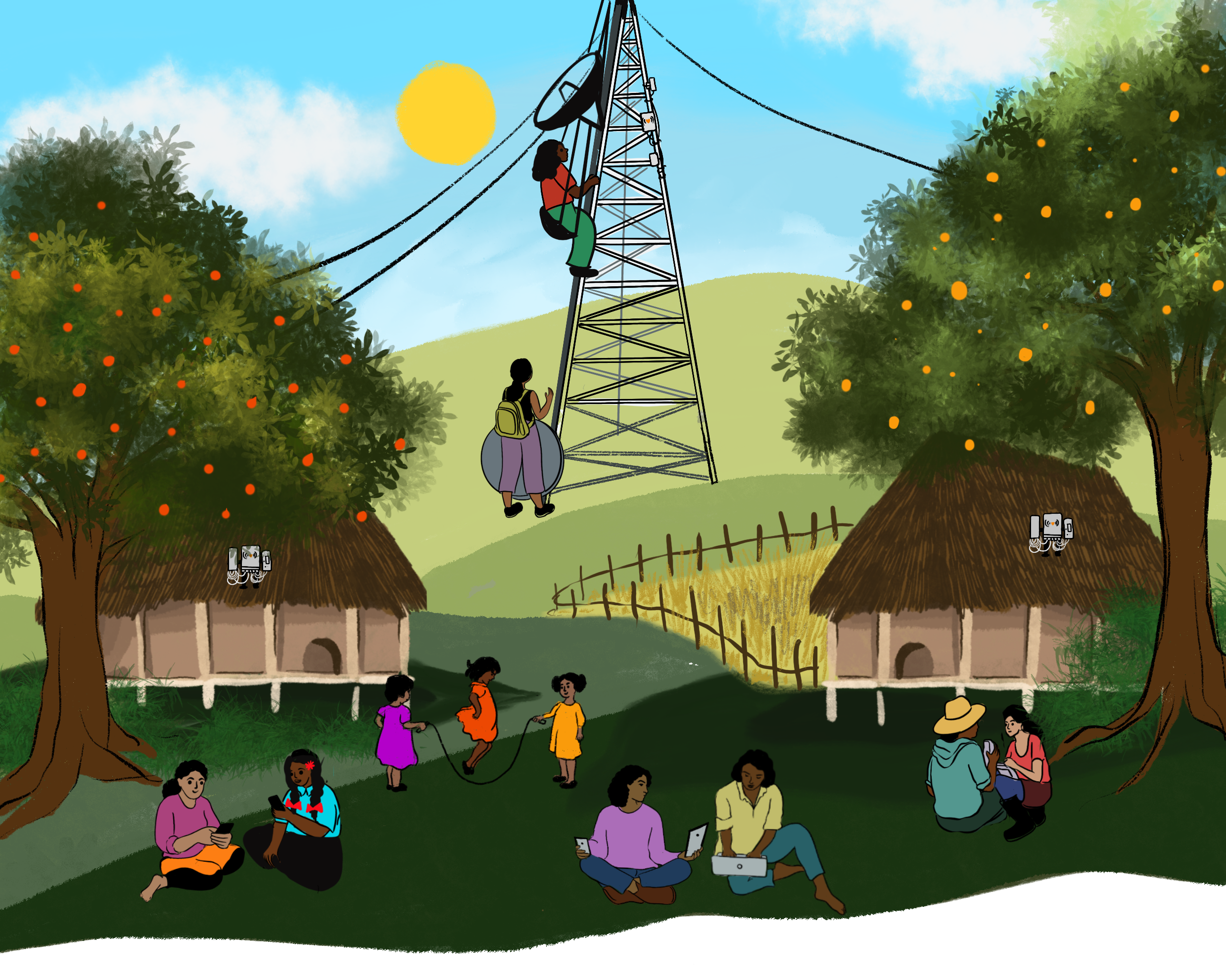
Technology - such as phones, drones, computers, and GPS - alone cannot protect our lands. What we’ve seen is that technology is most effective when it is incorporated into existing structures for collaboration and action within the community.
Technology can help when:
- you know what threats you want to document, or data you want to collect
- you want to build a specific product (such as a map, website, advocacy campaign or article) that a specific kind of technology can help you create
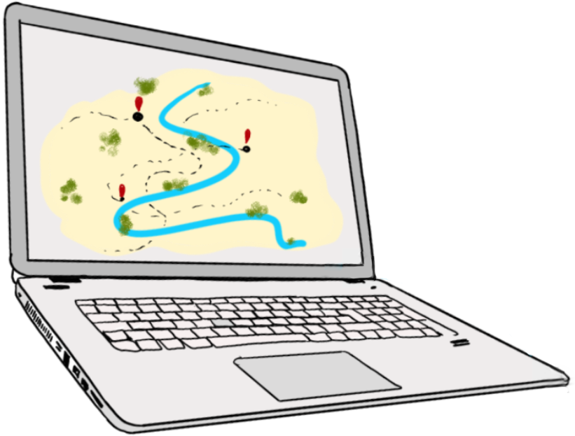
Technology can also create unintended consequences, and if you’re using technology to collect sensitive information, it’s important to choose tools that enable your community to control your own data, to make sure that it doesn’t accidentally put you or your people in danger.
Possible positive impacts
- Community bonding across generations
- Increasing the participation of young people in earth defense work
- Community-building through collaborative learning and use of tools
- Powerful ways to share information internally and externally

Possible negative impacts
- Unintended shifts in local power dynamics
- Much modern digital technology is designed to be addictive, causing harmful impacts for individuals and communities
- In communities with limited exposure to technology, the introduction of tools can cause social tension, and inflate the status of participants with access to the tools
- While social media apps such as Facebook, WhatsApp, and Instagram can be useful in connecting communities, they can also be harmful, and disrupt otherwise thriving community social practices
- The devaluation of the role of community elders and their traditional knowledge
Some things we’ve learned along the way
- It’s okay if you don’t know exactly what you are doing when you start! In our experience, every successful project evolves over time.
- Building trust is critical.
- Have fun!!
- Everyone makes mistakes - it’s okay to learn as you go along.
- Learn from the experiences of other communities!
