Terrastories: a tool for place-based storytelling
Pour le moment, ce document n'est disponible qu'en anglais et en espagnol. Si vous souhaitez aider à le traduire en français, nous serions ravis de votre contribution!
What is Terrastories?
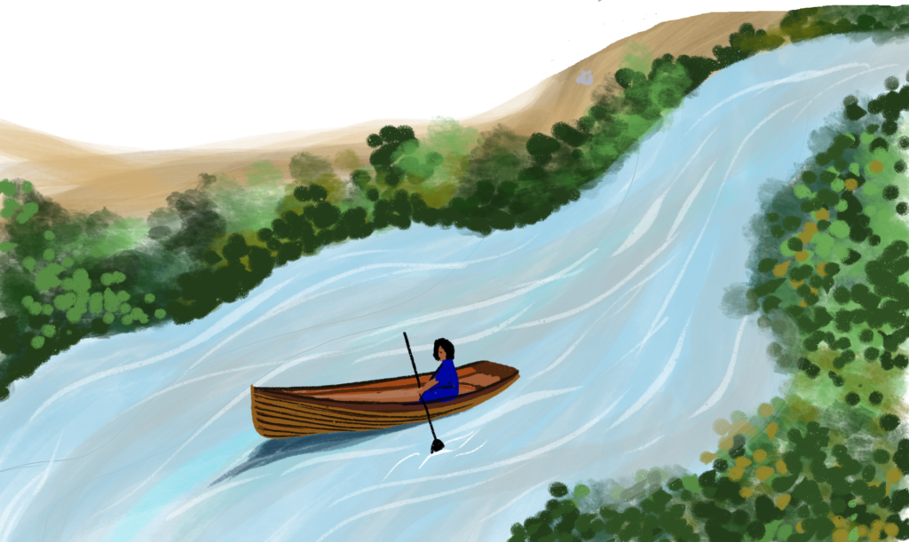
Terrastories is an application for communities to map, protect, and share stories about their land.
It can be used by individuals or communities who want to connect audio or video content to places on a map. It is designed to be user-friendly and fun to interact with, allowing community members to freely explore without needing any technical background.
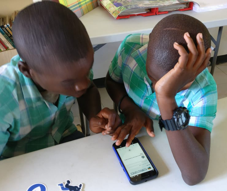
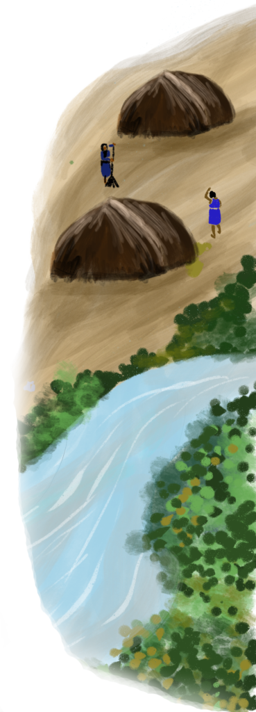
Terrastories began when a team of geographers and software developers decided to start building Terrastories to help a community in South America map their place-based oral histories. The Matawai Maroons of Suriname, a community of formerly enslaved Africans who fled into the forests over three centuries ago and reside there today, wanted to map oral histories about when their ancestors first arrived in these lands (read more about the Matawai and their story here). The community leaders were interested in having a tool that helps the young people get to know these places, their history, their culture, and who they are as a people.
Terrastories was built to accommodate that need, which the team also heard about from other communities across the globe.
Why you might want to use Terrastories
If you have maps of your land, and oral histories you want to add to it, then Terrastories could be a good tool for your needs. Another perspective is that since Terrastories is basically a media content management system built on top of a map, it can be used to map any kind of media content that has a relationship with a place.
Here are some of the additional features that make Terrastories unique:
1. Interactive user interface
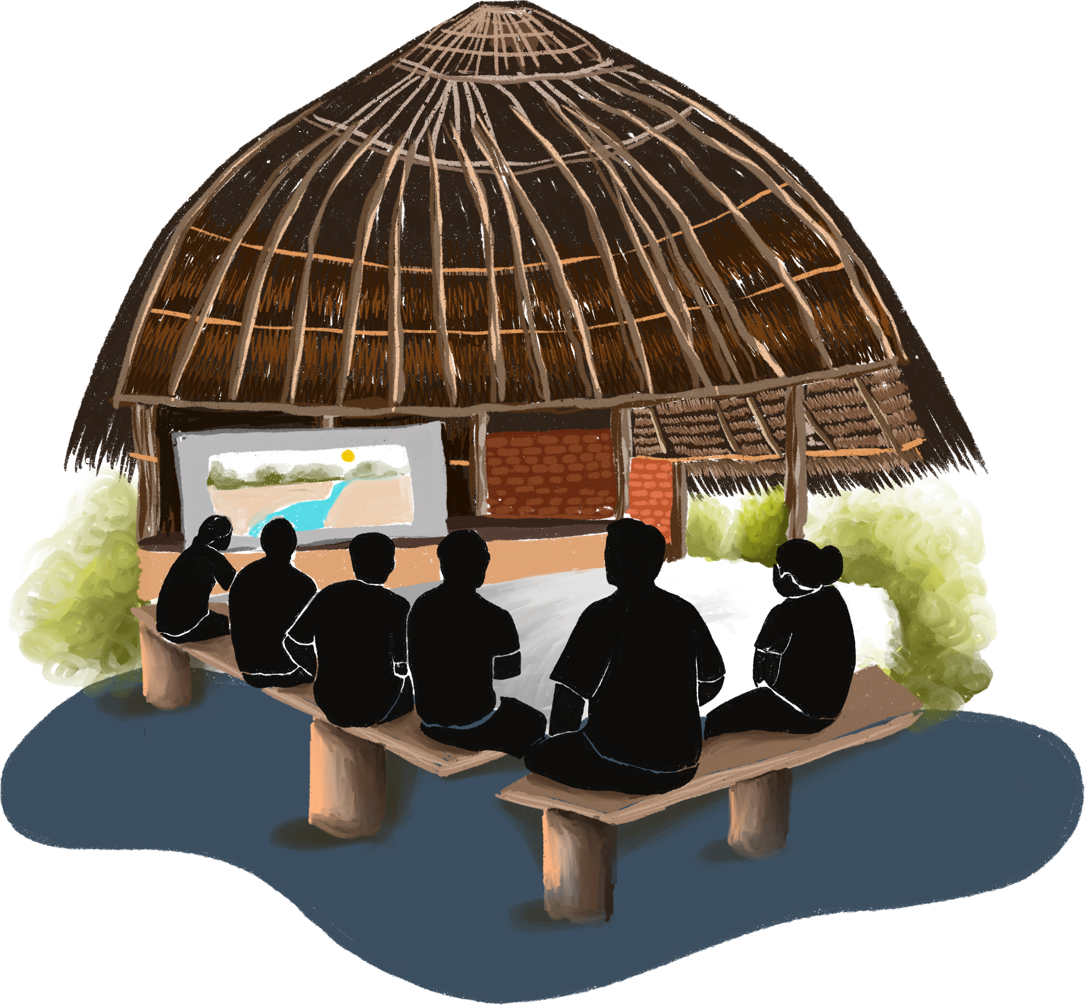
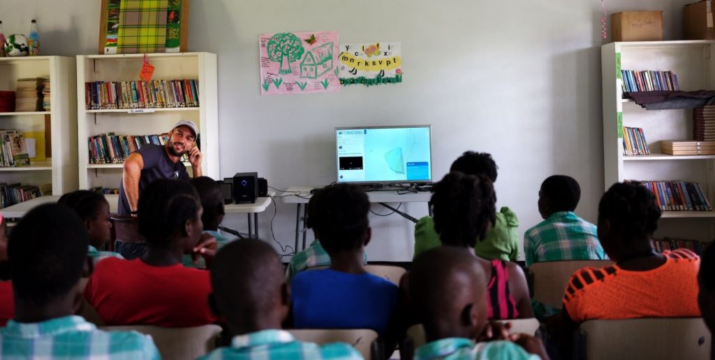
Terrastories was specifically created with the youth of earth defender communities in mind, and it is designed to be educational about land, history and culture while also engaging and fun to play with. Teachers may use Terrastories as part of their curriculum to help young people bolster their computer literacy and skills while also learning about their community’s stories.
2. Privacy & sharing
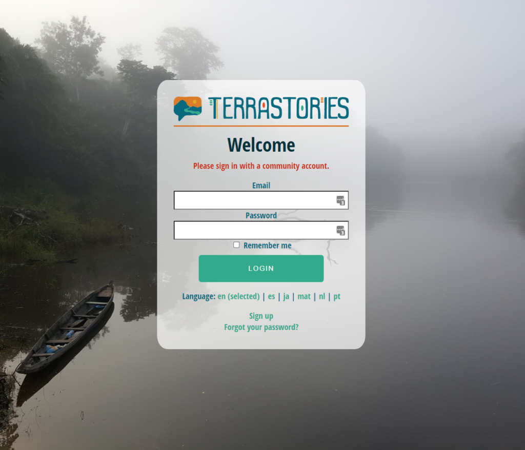
Security and data protection are very important concerns for many earth defender communities. Depending on your particular needs, you may want to keep all or certain parts of your map from falling into the wrong hands. Terrastories was built with this concern in mind, and enables communities to designate certain stories as private and restricted. This means that you need to have special log-in credentials to see those stories. By contrast, there might be stories that your community wants to share with the world, and you can set those to be viewable by anyone.
3. Terrastories works in completely offline environments
Many earth defender communities reside in remote contexts, with limited or no access to the internet. Unfortunately, many storytelling and mapping tools require internet access, and won’t work (or barely work) without it. For those reasons, Terrastories was built to work offline. The entire application can be run on a computer or a device that transmits a WiFi hotspot through which other devices can connect. In addition to ease of use, some communities appreciate this function for data privacy reasons: storing the maps and stories on a physical device helps ensure that private data does not leave the territory.

4. Terrastories is customizable
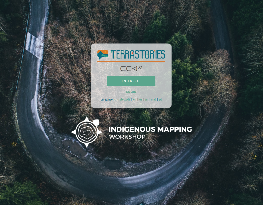
Much of the Terrastories app is customizable in terms of language, maps, and information you collect. When you download it, it comes with a standard online map of the world, but you can choose to use your own map, including one that can work offline. You can also translate Terrastories into your own language, and set up story filters based on your own taxonomies and categories for places in your lands.
How it works
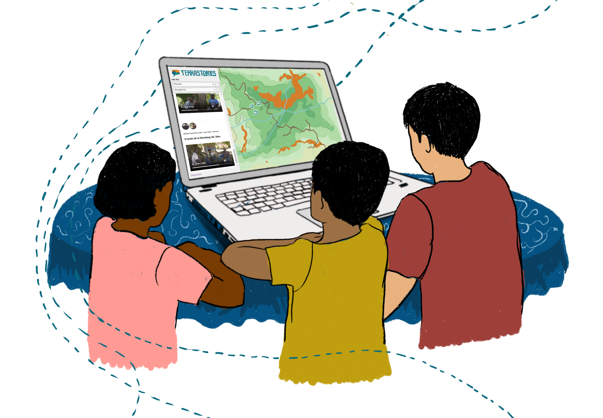
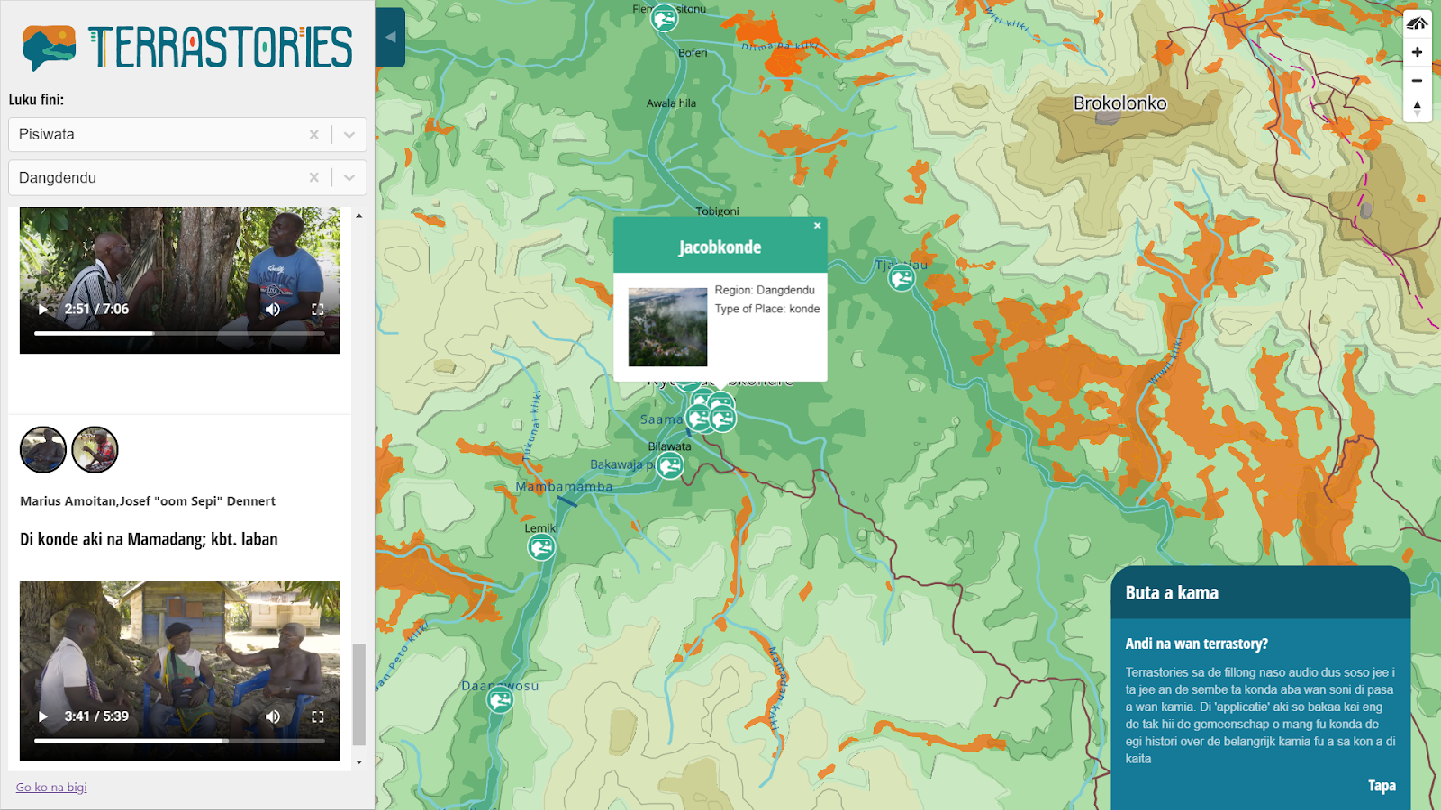
Terrastories is composed of an interactive map, and a sidebar of stories.
Installing Terrastories
The Terrastories application loads in a browser but can be installed on a computer to run locally without internet, just as much as on the web. It’s also possible to configure a mini-computer to serve as a local hub serving Terrastories to any devices connected to the hub WiFi. It’s not as easy to install Terrastories as other applications (like one you can just download and run), but you only need to do it once and we have good documentation for doing it. And you can solicit help for installing Terrastories via the Earth Defenders Toolkit Forum. More on installation here.
Creating and setting up a community
Once you have installed Terrastories, you can create one or more "communities". A community is a space on Terrastories that is shared by a group of people, and provides its own map and database of stories. In addition, you can create users for that community with different privileges, like for editing or viewing restricted stories and places. You can also provision a custom map from Mapbox Studio or in map tile format. Lastly, you can add logos and background images to style that community’s Terrastories space.
Exploring the content via map or story
Users of Terrastories can explore the map and press on a storied place to filter the list of stories in the sidebar that are only about that place. In addition, users can press on a story in the sidebar, and the map will navigate to that place.
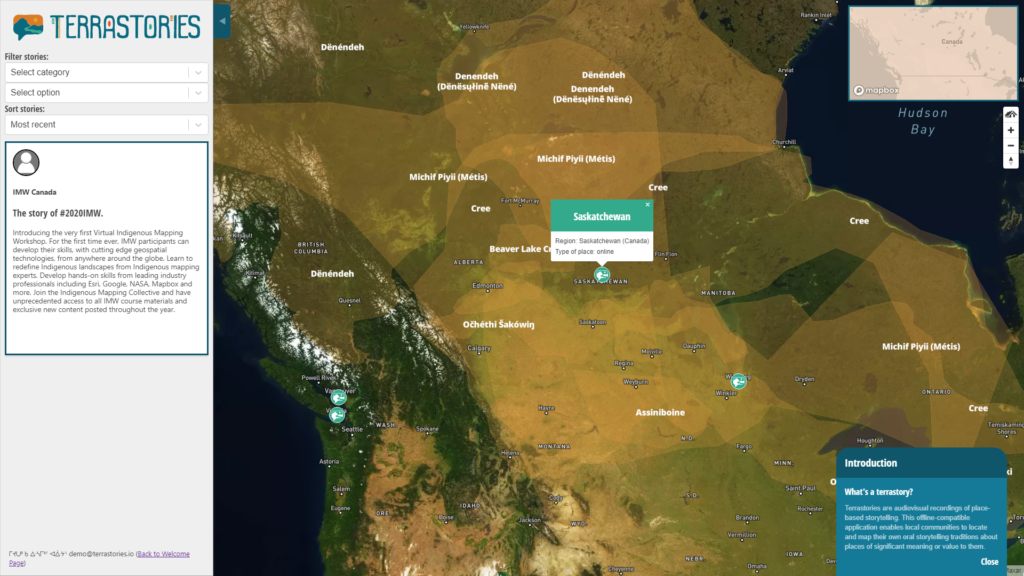
Filtering stories and places
There are filter dropdown menus that allow users to filter the places and stories by speaker, region, or the community’s own taxonomy. For example, a community can create a taxonomy of places in their own language, which includes both geographical categories (such as rapids, islands, and creeks) as well as cultural categories (such as sacred or historical sites). Communities can then filter the Terrastories map and stories according to these categories.
Setting access permissions for restricted stories
A Terrastories user with editing privileges for a community is able to determine which stories should be viewable by anyone, or by community members only. More on this here.
Translating the Terrastories interface
Terrastories currently comes bundled in English, Portuguese, Spanish, Dutch, Matawai, and Japanese, but you can also translate it into your language. You can do so by translating the Terrastories text in one of these languages into your own language, then adding that to Terrastories by copying that file into the Terrastories languages folder. More on this here.
How to get started
Are you interested in using Terrastories for mapping oral histories? Check out these training and educational materials, courtesy of the Indigenous Mapping Workshop. There is also an online Terrastories server that the Terrastories team can help you access, if you’d like to try it out. Please feel welcome to join our community of Terrastories users where we help each other out, connect about projects and share insights to help improve the tool.
Examples of how Terrastories is used
Mapping ancestral oral histories in Suriname
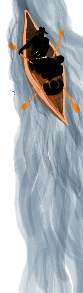
The Matawai Maroons, a community of descendants of formerly enslaved Africans who fought for their right to exist in the rainforest over three centuries ago, are mapping their ancestral homelands along the Saramacca River in Suriname and using Terrastories to overlay place-based oral histories with their maps. Read more.
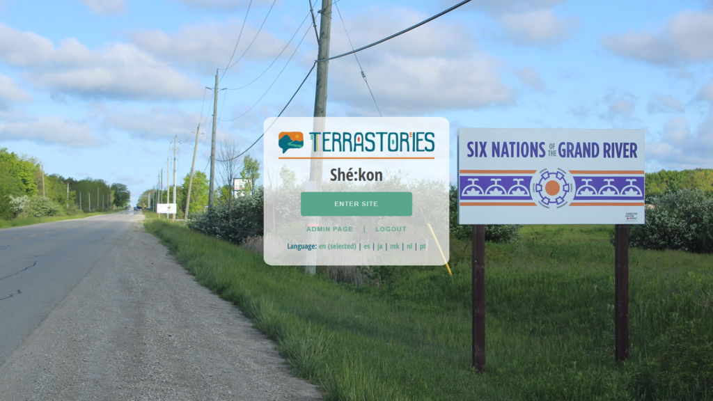
Traditional knowledge of water in Canada
The Haudenosaunee people at Six Nations Reserve in Ontario, Canada are using Terrastories to map traditional ecological knowledge and Indigenous stories of the Grand River along with scientific data about water quality. Read more.
Specs
Software requirements: Terrastories can be installed on Windows, Mac, Linux, or a web server. Terrastories is a web application that is opened through a browser. It is currently not possible to install Terrastories on a phone, however, it is possible to set up a computer as a local offline server which generates a WiFi signal and through which phones can load Terrastories in the browser.
Security: With Terrastories, it is possible to protect stories by setting them as restricted for viewing by community users only. It is also possible to make logging in a requirement so that none of the maps or stories are viewable until you’ve logged in with community credentials.
Main features: Completely offline functionality. Custom maps. Protected stories. Filter stories by Indigenous taxonomies or speakers. You can add many stories to one place, and stories can be about multiple places. Explore content either via the map or via the stories. Multiple communities can use one Terrastories instance or server. Administrative menu for users with editing permissions.
Languages: Can be translated into any language. Currently available Dutch, English, Japanese, Matawai, Portuguese, and Spanish.
Media: Possible to add photographs to places, speakers and stories, and audio & video (as many as you want) to stories.
Import options: Possible to batch import stories, speakers, and places via the administrative menu.
Export options: Documentation is available for exporting Terrastories content using a computer command line. A user-friendly interface for exporting via the administrative menu is on the roadmap.
The Terrastories core stewards team would like to thank the Matawai and all of the other communities involved in the development of Terrastories.
Why Storytelling Matters
Many earth defender communities across the world express a strong relationship with their territory, and a commitment to taking care of their territory in the way their ancestors have for generations. Doing so requires a strong sense of place and place-based knowledge, and there is no better place to learn that than through storytelling.
Storytelling is the way that information gets passed through the generations, but as colonization, deforestation and acculturation creep deeper into communities' ways of life, that living memory is threatened.
Communities across the world have taken action and leveraged audiovisual recording technology to safeguard the stories of their elders. An audio recording is an easy and effective way to ensure that an invaluable story about a territory, history, or culture is preserved for future listening by other community members, including future generations to come. By videorecording a person sharing a story, you capture not only the words of the speaker but also the way the story is told, their non-verbal language, and the place where the story is shared.
Maps are also a powerful way to document cultural knowledge. By mapping just place names alone, you can start to create an archive of traditional, ecological, and historical knowledge. But as many community mappers have discovered, once you start mapping place names and want to sit down with an elder to ask about the locations of places, the stories start to flow, and you realize that the place names are just the tip of the iceberg.