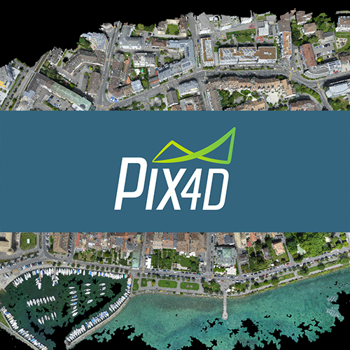
PIX4DMapper is a commercial app that will create a high-resolution map or 3D model from drone photos. You can use the free PIX4Dcapture mobile app to plan a drone flight and take multiple photos in a grid over the area you wish to map. You can process these images with PIX4Dmapper and it will create an orthophoto (an orthophoto is like satellite imagery — a high resolution geo-referenced photograph of the ground, created by merging multiple images from a drone) and a 3D model that shows hills, trees and buildings in the area mapped.
PIX4D

